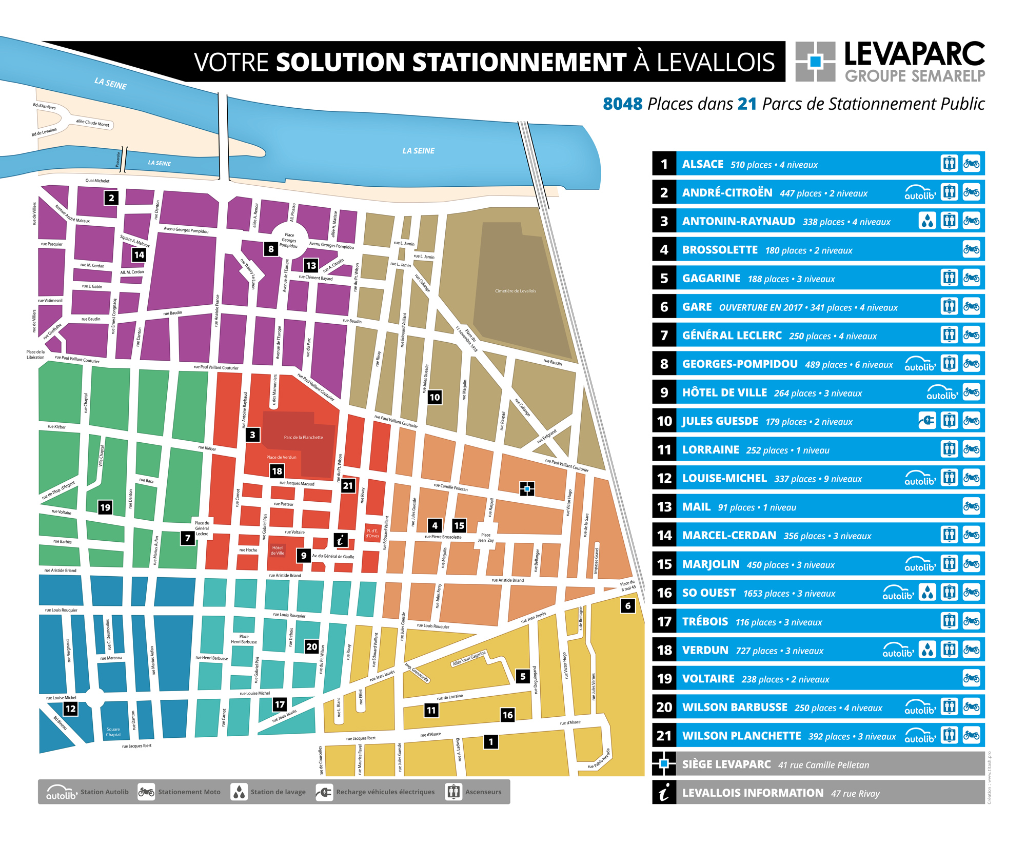
Un travail assez inhabituel mais très intéressant pour Levaparc : la refonte totale du plan de Levallois recensant les parcs de stationnement. J'ai principalement axé ce travail sur la lisibilité et l'ergonomie d'utilisation, tout en actualisant la charte graphique. Format final du plan : 1,7 x 1,4 m.
Levaparc : Map of the city of Levallois - Version 2016
An unusual but very interesting work for Levaparc: the complete overhaul of the Levallois map that identifying the parkings positions. I mainly focused on the readability and usability of use, while updating the graphics. Final size of the map: 1,7 x 1,4 m (67" x 55").
Publié le 13 avril 2016 à 21:30 (GMT+0100) par Titash, dans Publishing PAO.
Laissez un commentaire